Photos of Some of the Areas at Converse Affected by The Pacolet River Flood
(The following recent photographs were taken by Bob Johnson and are used with his kind permission.)
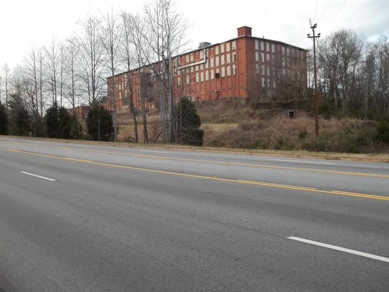
The idle Converse Mill is located beside Hwy 29 and the Pacolet River. The original Converse mill, then known as Clifton #3, was one of the first mills to suffer from the flood. It was located down by the river and was totally destroyed. The present Converse mill as shown above, was relocated and rebuilt in 1907 after the flood. This photo was taken in December, 2011.
This is the welcome sign for the Converse Mill Village. At one time the village was home to many of the mill workers.
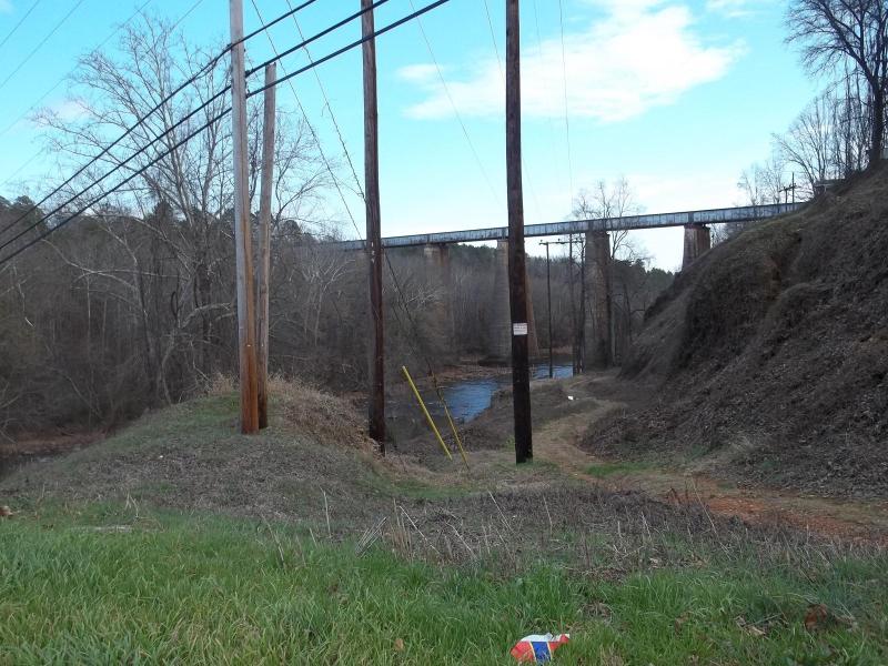
This is a view looking down the Pacolet River toward the present railroad trestle. The original trestle was destroyed in 1903. The loss of the trestle interfered with railroad traffic between Charlotte and Atlanta. It also interfered with help and supplies coming to the Spartanburg area for the flood victims.
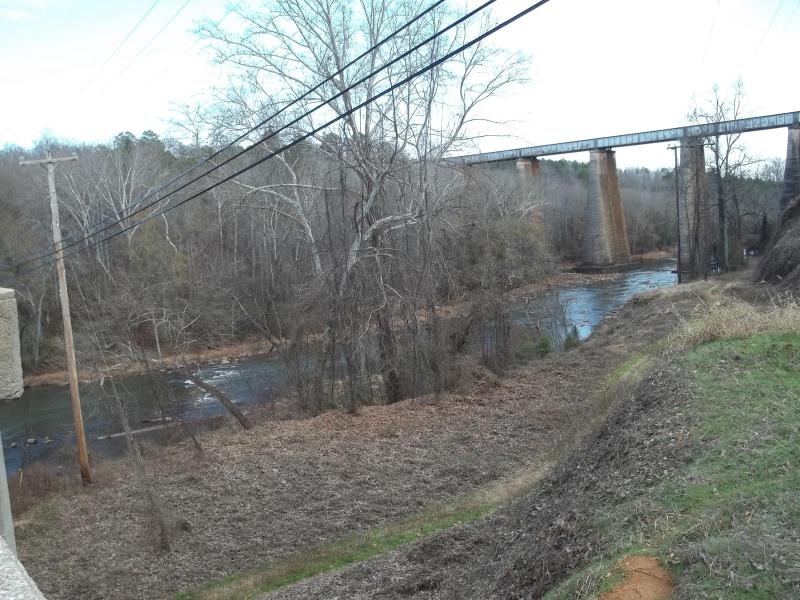
Another view of the trestle from a slightly different angle. The edge of the Hwy 29 bridge over the Pacolet River is shown to the left.
This web site has been started as a public service to share the story of Pacolet.